Tuesday, August 19, 2014

Faulkland Station


When I posted an older photo of the Marshallton Station, Mike Ciosek from the Friends of Brandywine Springs emailed me with some information that I never knew and thought I would pass along. A portion of Mikes email is below detailing his trip down to Siver Springs, MD.:

Reading your blog and I have more information for you about the station in Marshallton. In 2009 John Iwasyk, Peter Lane and I went to the US Archives in Silver Springs, MD to look up the Landenberg Branch of the B&O RR. In about 1918 the Interstate Commerce Commission (ICC) was making a survey on all of the railroads in the US because the government was possibly going to take over the railroads because of WWI. They needed to know what they were taking over so they commissioned a survey the railroads.
 We went down to look at the records. We found an large amount of data on the whole branch. I literally photographed page after page of data. I have attached one of the pages that has notes on Marshallton. In 1919 it was used as a dwelling. It was just like Faulkland station was used as a home in the same period.  

Below is the page to the Marshallton Station Mike is relating to and also a photo of the Faulkland Station which is the first I have seen of that station. I have also re-posted the photo I put up recently of the Marshallton Station so you can see the resemblance....Without the plants,etc. of course. Mike tells me the lady standing on the platform is Mary O'Rourke.

Thanks to Mike and the Friends of Brandywine Springs for providing and letting me post their photos. 


Wednesday, June 25, 2014

Marshallton Station

The Marshallton Station was on the west side of the tracks where they cross Old Capitol Trail near where the Hunters Den Restaurant sits today. In the background you can make out the Cranston House that was sadly demolished a couple years back. On the platform of the station there is what looks like a pile of coal and some wooden barrels of an unknown cargo. Local stories say it was here that livestock would be unloaded and herded down the road to one of the slaughter houses in the area.
Would love to know what happened to the Marshallton sign hanging on the the station.


Sunday, June 1, 2014

The Annie Oakley' s of The Old New Castle County Workhouse get their recognition


Just a bout a year ago a gentleman by the name of Bill Salerno approached me and asked if I could help him out by posting some information on this blog. As it turns out Bill was working on a project regarding eleven women hired to be corrections officers at the old New Castle County Workhouse in the 1940’s. He had some photos and a couple newspaper clippings that he hoped would help identify the women hired. I was more then happy to help out. You can see that post here.
After more then a year of gong through the archives, internet searches and other research including  the support of County, State and local Legislators, Bill had all his hard work rewarded. At 10:30am on May 30th 2014 a Historic Marker was unveiled at the site of the old Workhouse. The ceremony was well attended and at one point Bill said to me “this was more then I expected”.
Congratulations to Bill for his dedication and enthusiasm to see a project like this through.
Below are some photos from today’s event.
New Marker
Bill speaks to crowd as Legislators and County Officials look  on
Senator Peterson, Senator Blevins and Representative Kim Williams address the crowd
County Executive Tom Gordon also addressed the crowd
Some of The Crowd
Again, more of the crowd

Monday, May 12, 2014

The 80 Acres of Public Open Space in Glenville is Now Off Limits…..


I usually post without much text but feel this is something where I might try to say a few words. I also apologize for the amount of photos but, again, I felt a need to include them.
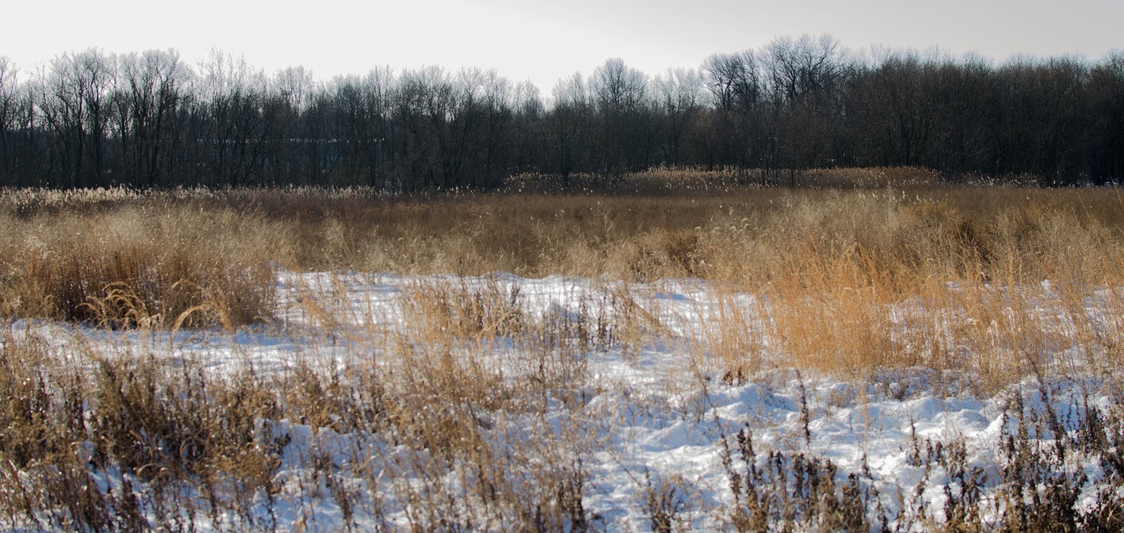
Every now and then I will stop by the old community of Glenville to look out at an area once filled with houses and now natural open space created when those homes were flooded by the Red Clay Creek and demolished. The state did a great job taking a 'ghost town', after the flooding, and return it to a natural state. The area is bordered on one edge by the Red Clay and the other by 1st State Blvd. The 80 acres includes open, wooded and wetland areas, perfect for people who enjoy nature.  The site also includes access to Red Clay Creek. This stream runs approximately 15 miles through Delaware and if you look closely you can see there is no real public access anywhere as it meanders through mostly private property, under Kirkwood Highway down to Stanton…..there are a couple short sections at Brandywine Springs and The Wilmington and Western Railroad. Then I thought the Glenville site needed a sign, you know…..like the kind they place at other preservation sites, saying it is owned by the State of Delaware, telling the name of the reserve and saying it is to be enjoyed but used with sensitivity with maybe a map showing a trail of where and where you can not go.

All the above thinking came to a halt when on a recent drive over to Glenville I noticed there have been signs erected stating….State Property….No Trespassing…..$500 Fine for Dumping. I couldn’t believe it! There must be at least 6-8 signs along the
road/curb as you approach the space. Now I am confused. So I came home to check resources and I was correct. The 80 acres is designated as public open space (see photo below) and titled Glenville Park (see this photo below also). Why are signs up and the county web site shows it is public open space?

 I cant help but think about the length of the Red Clay Creek from Newport Gap Pike (rt41) south to and including Glenville. At this time there is about 130 acres with ~2 miles of creek frontage available to be used and enjoyed but still there is no access.That's right....If you include the vacant 32 stream frontage acres of the Ametek site, ~22 stream frontage acres available between Kiamensi Road and Maryland Ave(Rt4) and the 80 stream frontage acres of the Glenville site you would have you would have one heck of corridor showing off its natural and historic resources and if I am not mistaking.... Glenville was built on what was part of Bread and Cheese Island, with residents as early as 1665.

Getting back to Glenville, I have included a couple photos below from the website Flickr, taken by Brian Henderson, showing what the Glenville site has to offer but is now, according to signs, off limits.
Glenville
Glenville
Glenville
Red-tailed Hawk (Glenville)


Northern Rough-winged Swallows (Glenville)
Warbling Vireo (Glenville)


Tuesday, April 8, 2014

Greenbank Station with Red Clay Valley Vistior Center and Museum

The Wilmington and Western Railroads Greenbank Station is located on Rt41 near Prices Corner. At the station you can buy tickets, refreshments and has a gift shop. In the building next store you can find the visitor center and a museum that not only displays railroad pieces but showcases finds from archeological digs at Brandywine Springs.


Friday, March 21, 2014

Hale - Byrnes House c1750 Stanton, De.

Council of War held here in September 1777 by General George Washington and his Generals as they waited the arrival of British troops, led by General Howe, on their march to Philadelphia.


Monday, March 10, 2014

The c1905 Amatek Administration Building in 2014

A couple photos taken of the c1905 administration building on the property of Ametek in Marshallton. Since the flooding closed the site in 2003, the building has sat vacant and sealed up. The photo of the creek is the Red Clay which flows directly behind it.

Tuesday, January 28, 2014

The Old Community of Glenville....A Reserve of Sorts?


A good portion of what was once the Community of Glenville is now, according to New Castle County parcel web page, 80 acres of open space owned by the State of Delaware. It is not your typical parcel of open space however. When the state acquired the property, after Glenville was devastated by flooding, it was developed to handle future flooding created by the Red Clay Creek. Accessibility onto the site isn’t easy due to the fact it is one huge basin but left in a natural state. The western edge of the property sits along a good portion of the Red Clay Creek south of rt4. On the east and southern boundaries it backs up to the properties along First State Blvd where a good bit of it is wet lands. The entire tract appears to be a natural reserve for birds and other types of wildlife. 


Wednesday, January 22, 2014

Greenbank Mill...January 21, 2014

Nothing more you can say about this other then The Greenbank Mill in the morning of January 21, 2014